 GIANT STATE TRAVELING MAP
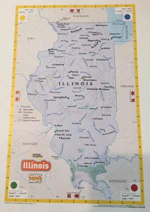
As part of the 2017 National Initiative for Alliances, the National Geographic Society has provided the Geographic Society of Chicago two classroom sized (16′ x 20′) maps of the state of Illinois. Using the expertise of National Geographic’s Cartographic Division and research on elementary spatial thinking, these maps are an excellent way to teach students about the world and empower them to make a difference.
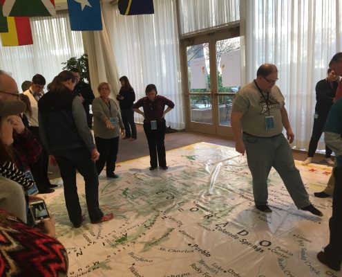
National Geographic and the Geographic Society of Chicago’s Giant Traveling Map will bring hands-and-feet-on geographic education to your school or educational event.
Program Details
- The Giant Floor Map of Illinois measures approximately 16’ x 20’ (that’s 320 square feet of map!)
- The map comes in a trunk with additional activity materials including
scavenger hunt cards, lanyards, cones, chains, and more!

- The Geographic Society of Chicago has lesson guides available for use
in conjunction with the Illinois map here. A Lesson Handbook published by
National Geographic that includes general curricula designed for 3rd and
4th grade students is also available.
Cost
- Your school or organization only needs to cover the cost of shipping. We encourage schools and school districts to keep the map for 1-2 weeks to ensure multiple classrooms share in the experience.
- Upon request, the Geographic Society of Chicago can provide training to teachers or can provide an educator to conduct the lessons at your school (for a fee).
How to Get Started
To borrow the Illinois Giant State Traveling Map:
- Complete the Map Request form below. The Geographic Society of Chicago will contact you and arrange for the date(s) for which the map will be available to your school or organization.
- Once your Map Request has been accepted by the GSC, you must complete the User Agreement form here to finalize the details.
Have questions? Contact the GSC at (773) 529-1212.

